To provide the best experiences, we use technologies like cookies to store and/or access device information. Consenting to these technologies will allow us to process data such as browsing behaviour or unique IDs on this site. Not consenting or withdrawing consent, may adversely affect certain features and functions.
The technical storage or access is strictly necessary for the legitimate purpose of enabling the use of a specific service explicitly requested by the subscriber or user, or for the sole purpose of carrying out the transmission of a communication over an electronic communications network.
The technical storage or access is necessary for the legitimate purpose of storing preferences that are not requested by the subscriber or user.
The technical storage or access that is used exclusively for statistical purposes.
The technical storage or access that is used exclusively for anonymous statistical purposes. Without a subpoena, voluntary compliance on the part of your Internet Service Provider, or additional records from a third party, information stored or retrieved for this purpose alone cannot usually be used to identify you.
The technical storage or access is required to create user profiles to send advertising, or to track the user on a website or across several websites for similar marketing purposes.









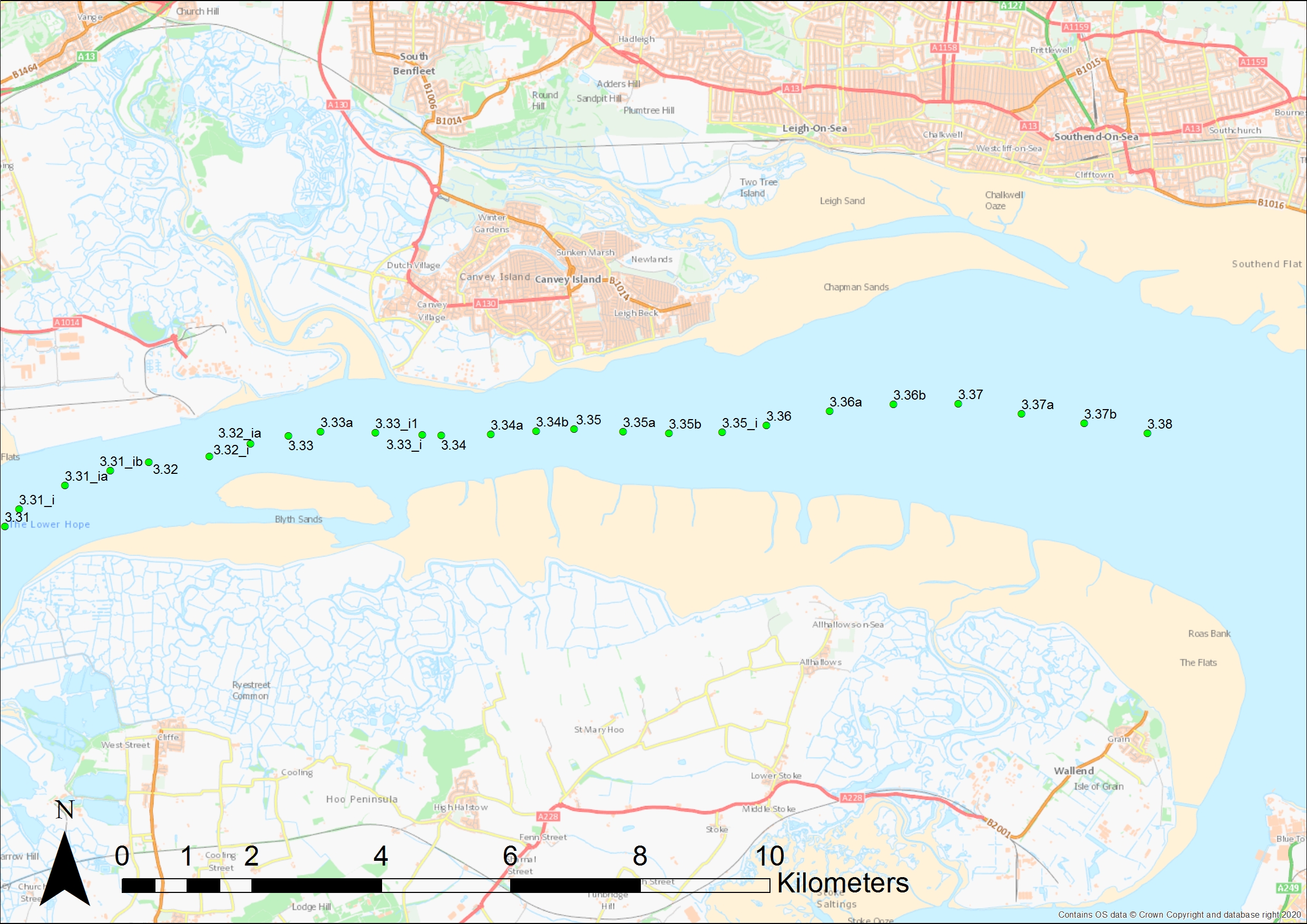
I found this very interesting reading. It is something I have written about in the past for the effects of barrier closures do cause localised rises in the area around Leigh-on-Sea up to barrier across Benfleet Creek below the road bridge onto Canvey Island, and into Smallgains Creek.
What the EA say about the affects in the higher tidal reaches of the River Medway are probably correct – one would need measuring instruments and several events to build a picture…
What I will say is that early closure of barriers seems to have an adverse affect downstream. I remember the 2013 event and marked its height on one of my mooring posts at the Island Yacht Club in Smallgains Creek – it was frighteningly high! That height has since been more or less equalled on two occasions that I am aware of since. The last was the February event earlier this year – discussed above in the web piece.
The Thames barrier is often closed early when fluvial flows are high – if the tributaries of the upper Thames (in the west of the country) have an excess of water, then an early closure allows for a ‘basin’ for fluvial flow to rise within whilst holding the tide back outside of the barrier.
When the Thames Barrier at Woolwich is closed, all downstream barriers are closed simultaneously. The consequence of the early closure of the Benfleet and the East Haven Barriers with a virtually empty creek around the north and west of Canvey Island, does, I believe, cause localised lift of the peak tide level at the eastern end of Canvey Island, and a more numerous flood event for the Benfleet YC.
What that rise is, I have no way of measuring, however, I feel it can be around 100 mm to 200 mm (0.1 to 0.2 m), if not more at times..
It is an observation borne of decades of ‘watching’ the water…
Ultimately, in my lifetime, perhaps (I’m now nearly 67), a barrier will be needed spanning the outer end of Sea Reach between the spine of land at Shoeburyness across to N. Kent, probably east of Whitstable.
I’m sure it is in the planners minds!
In the mean time a greater level of reflooding of low land ‘pinched’ from the sea in the past would help alleviate localised problems.